EXPEDITION ARCHIVE // SEASON 2026

Norway: Fjords & Remote Journeys

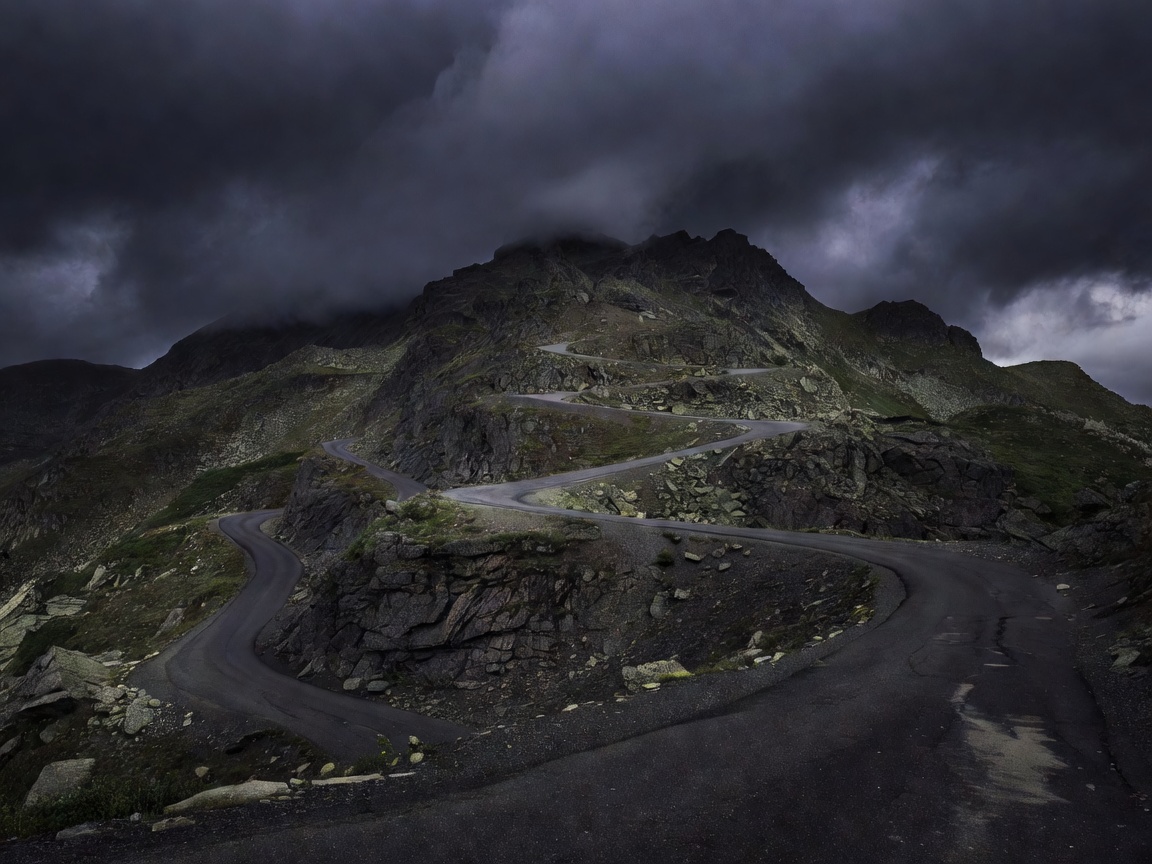
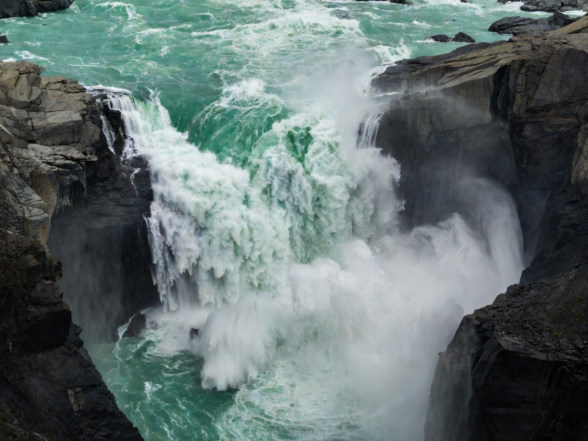
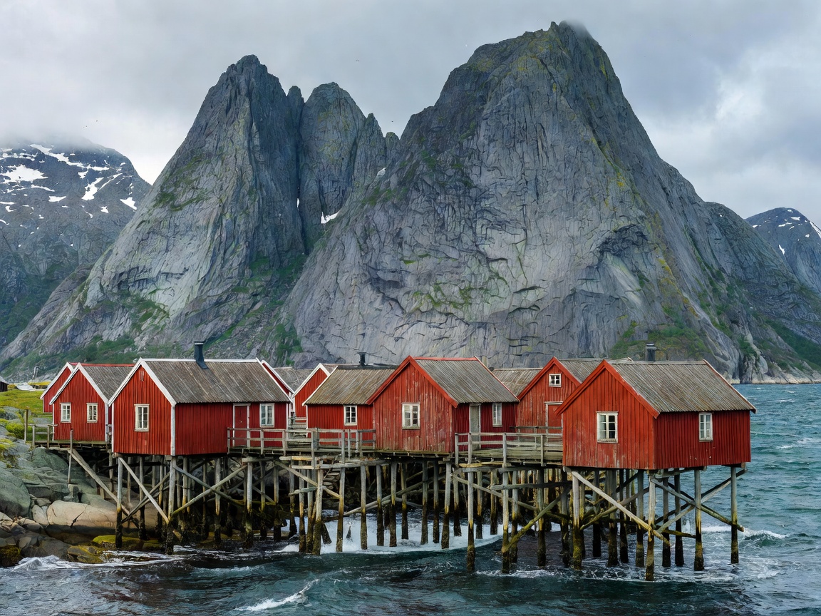
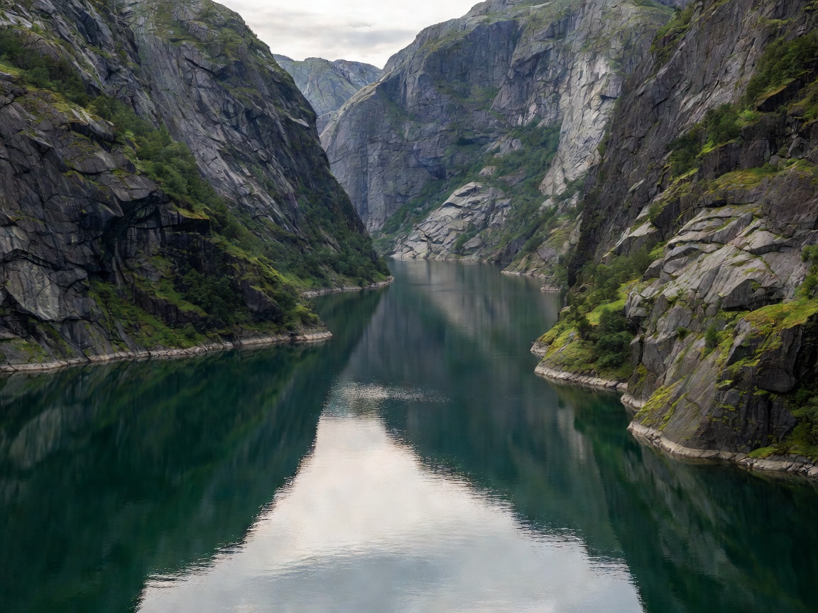
A comprehensive terrain-level inquiry into Western Norway's glacier-carved inlets, hairpin alpine passes, hanging valley waterfalls, and insulated coastal hamlets. Plan routes grounded in tidal ferry logistics, weather corridors, and elevation thresholds.

1,190 Documented Fjords
18 Scenic Drives
2469m Peak Nordic Elevation
61°42' N
[ FIELD MODULES // REGISTRY 01-05 ]

Field Modules & Route Planning

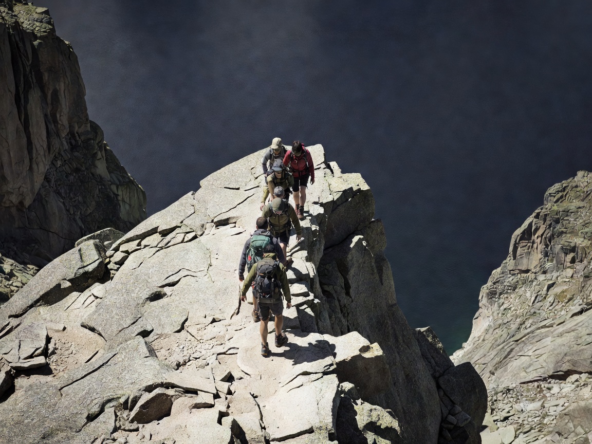
Carefully structured expedition notes detailing sea-level fjord entries, alpine switchback protocols, river runoff cycles, alpine ridges, and northern archipelago outposts.

[ GEOLOGICAL DOSSIER // COASTAL DYNAMICS ]

The Physics of the Norwegian Coastline

Understanding the tectonic fractures and quaternary glaciations that govern modern travel routing through Scandinavia.

"The landscape of Western Norway cannot be negotiated simply by speed; it is governed entirely by bathymetric clefts, ferry crossing intervals, and snowmelt schedules that resist casual transit."

Tidal & Maritime Crossings

Norway's statutory road network relies on electric car ferries traversing waterways over a kilometer deep. Navigating these involves understanding regional car deck capacities and seasonal timetables.

Elevation Cleaving

From sea-level waterline to barren alpine frost shattering occurs within less than twelve kilometers of road distance, creating severe climatic variation between fjord shores and mountain tunnels.

Right to Roam (Allemannsretten)

Centuries-old common law codified in the Outdoor Recreation Act of 1957 permits unmotorized transit across open countryside, provided travelers maintain strict minimum distances from inhabited dwellings.